
Algeria
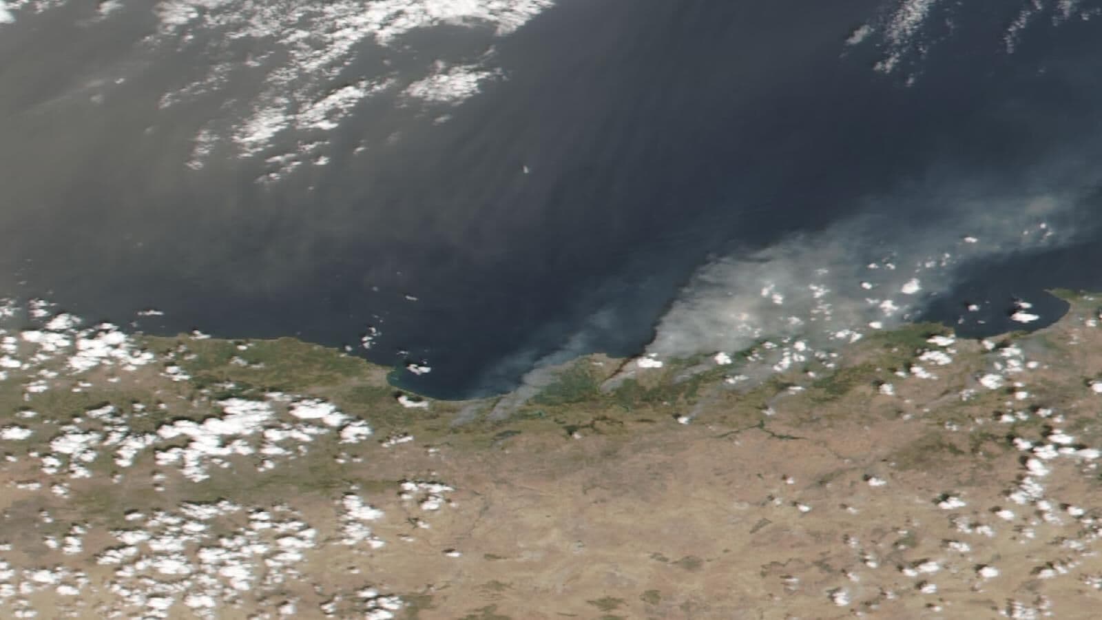
Algeria's densely populated northern coast lies along the active boundary between the African and Eurasian plates, exposing cities from Algiers to Oran to destructive earthquakes such as the 2003 Boumerdès quake. Summer wildfires in the forested Tell Atlas, including the deadly 2021 fires in Kabylie, along with flash floods and drought add recurring climate-driven risks.
This page tracks 1 documented disaster in Algeria. The most recent is Algeria Wildfires (July 2026). Find responding organizations, official agencies, and emergency contacts for Algeria below.
North AfricaAlgiers47.4 millionEmergency 14 (fire/medical) / 1548 (police)1 disaster recorded
Recovery phase
Official disaster management agencies
- Website
Direction Générale de la Protection Civile (DGPC)
Algeria's national civil protection service, responsible for firefighting, search and rescue, emergency medical response, and disaster management, including wildfire and earthquake response in every wilaya.
- Website
Centre de Recherche en Astronomie, Astrophysique et Géophysique (CRAAG)
National research centre that operates Algeria's seismic monitoring network and publishes earthquake reports.
- Website
Office National de la Météorologie (ONM)
Algeria's national weather service, issuing forecasts and alerts for heat waves, storms, and heavy rainfall.
Local & regional organizations
- Website
Algerian Red Crescent (Croissant-Rouge Algérien)
Provides emergency relief, first aid training, and support for families affected by earthquakes, wildfires, and floods across Algeria.